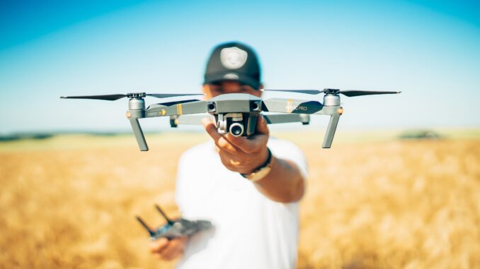
New drone technology has the potential to revolutionize coffee farming from the air.
BY VASILEIA FANARIOTI
SENIOR ONLINE CORRESPONDENT
Cover photo by David Henrichs via Unsplash
In an ever-evolving technological landscape, coffee producers have begun turning to drones in an attempt to increase efficiency and operations. These unmanned aerial vehicles (UAVs) offer a wide range of solutions to the challenges faced by coffee producers in the 21st century, from crop monitoring to harvesting. Today, we’ll explore the potential of drones in aiding coffee production, and how they can improve the industry as a whole.
Uses of Drones in Coffee Production
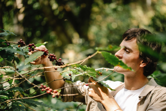
In most coffee farms, crop monitoring is typically done through on-the-ground physical inspection by farmers or agricultural support staff sent by local governments. This approach is costly and time-consuming, and often only samples a small portion of the land. Furthermore, this type of intermittent intervention usually occurs when damage has already been done. In cases such as disease or pest outbreaks, this approach can reduce yields.
Coffee producers have been turning to drones in part because the technology enables them to view inaccessible areas and get more detailed looks at their crops. They can reduce labor costs by automating specific tasks; they can identify pests and diseases quickly and efficiently; and they can track yield data over time.
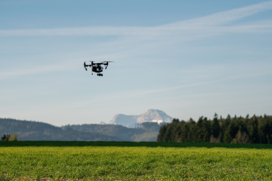
Rabobank, Brazil’s largest agricultural lender, has said that UAVs have been used increasingly to monitor farms and also spray different products. By using drones to apply pesticides in targeted areas, farmers can reduce the amount of product required and ensure correct application. It also helps lower costs associated with manual spraying and increases efficiency by ensuring the right pesticide is being applied at the right time. Drones with sophisticated sensors enable growers to create precise digital maps of their land, which leads to a better understanding of crop production and yield performance.
A Successful Example from Uganda
Aerial mapping software and powerful drones are necessary to capture high-resolution images of land and vegetation. The software uses these images to create detailed maps showing individual plants, which allows farmers to monitor the health of their plants and identify any problems quickly. For example, PIX4Dfields is an advanced agriculture mapping software for aerial crop analysis and digital farming that can be used in combination with drones to create high-resolution maps.
Last year, Uganda Flying Labs, a Ugandan drone mapping and data analytics knowledge hub, worked with the Uganda Coffee Development Authority to use drones for a mapping project in the Mukono region, south of Kampala. The project collects data and creates maps that can be utilized by farmers, researchers, and government officials to improve agronomic practices and identify problem areas. The team used the PIX4Dfields software to analyze soil erosion and malnourished crops.
This is just one example of how aerial mapping software and drones can be helpful for farmers. It is clear that drones have a lot to offer when it comes to coffee production. From mapping to crop monitoring and pesticide application, they can help farmers improve efficiency and increase yields. As the use of drones continues to expand in the agri-tech industry, one hopes that more farmers will be able to gain access to advanced technologies and reap their benefits.
ABOUT THE AUTHOR
Vasileia Fanarioti (she/her) is a senior online correspondent for Barista Magazine, and a freelance copywriter and editor with a primary focus on the coffee niche. She has also been a volunteer copywriter for the I’M NOT A BARISTA NPO, providing content to help educate people about baristas and their work. You can follow her adventures at thewanderingbean.net.
